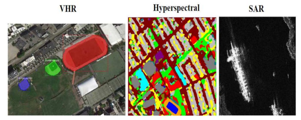
"Remote sensing data can be characterized by spatial, spectral, radiometric, and temporal resolutions, significantly influencing the effectiveness of various sensors used."
"Satellite sensors generally have lower spatial resolution due to their higher altitude, while UAV-based sensors provide greater detail due to closer proximity to the ground."
Remote sensing utilizes various sensor data collected from satellite and UAV platforms, characterized by spatial, spectral, radiometric, and temporal resolutions. Each dimension plays a vital role in determining the effectiveness of remote sensing applications. Satellite-based sensors typically offer lower spatial resolutions compared to UAV-based sensors, which deliver higher detail due to their proximity. The spectral resolution defines the sensor's capability to capture light wavelengths, while the radiometric resolution affects sensitivity and signal representation. This understanding is essential for enhancing the application of advanced learning models and evaluation metrics in remote sensing.
Read at Hackernoon
Unable to calculate read time
Collection
[
|
...
]