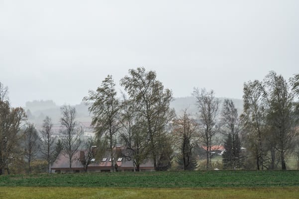
"Fog and ice will gradually clear through today, leaving some brighter spells and drier conditions for many. However, further areas of low pressure will continue to track eastwards across the Atlantic through this week. These systems are set to slow as they encounter a blocking area of high pressure over eastern Europe, resulting in additional spells of rain, particularly in the southwest, as well as hill snow across parts of northeast Scotland."
"On Thursday, showers in southwest England will be replaced by a more organised area of rain when the next system reaches the south of Cornwall around Thursday lunchtime. There's a Yellow Warning for rain in place from noon until Friday morning, with the focus for heavier rain across southwest England as the wet conditions spread northeast across the warning area."
"The rain is only likely to last for a few hours in each location but will be heavy at times. 10 to 15 mm is likely quite widely, but in some areas, particularly towards the south coast, a further 20 to 25 mm is possible. This rain will fall onto already saturated ground, compounding the impacts of Storm Chandra, so we're encouraging people to stay up to date with the latest forecast and follow any advice from the emergency services and local authorities."
Storm Chandra has been absorbed into a mature low-pressure system northwest of the UK. Fog and ice will gradually clear today, bringing brighter spells and drier conditions for many. Additional low-pressure systems will track eastwards across the Atlantic this week but are expected to slow on encountering a blocking high over eastern Europe, producing further rain—especially in the southwest—and hill snow in parts of northeast Scotland. Tonight low cloud and fog will redevelop across central and eastern areas with patchy rain and some hill snow. A Yellow Warning for heavy rain covers southwest England from Thursday noon until Friday morning.
Read at London Business News | Londonlovesbusiness.com
Unable to calculate read time
Collection
[
|
...
]