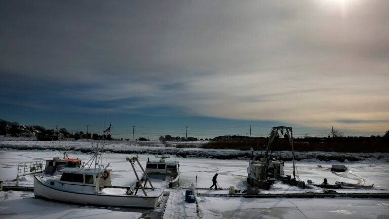
"Temperatures during the day Friday will start near zero or in the single digits and will only recover to between 12 and 19 degrees in the afternoon. It will be coldest in the Worcester hills and across Northern New England, where some ski areas will stay in the low single digits all day long. When you add in the wind on Friday, wind chill values will be below zero, but if you dress properly you can definitely get outside for a short walk and take in some of that brilliant sunlight."
"The sun this time of the year is getting stronger each day and is now equivalent roughly to the middle of November. Not suntan weather, but a little bit better than late December. Friday night is likely the coldest night we've seen so far this winter. Even Boston could get close to zero, and the suburbs are likely to go several degrees below zero. (This won't be cold enough for damage to the fruit trees because the absolute low temperature won't be cold enough, and it's been consistently cold this winter so those buds are as tight as they get this time of the year.)"
Very cold weather will arrive Friday, with daytime temperatures starting near zero or in the single digits and only rising to 12–19°F, coldest in the Worcester hills and Northern New England. Wind will produce subzero wind chill values despite strong sunshine roughly equivalent to mid-November. Friday night will likely be the coldest of the winter so far, with Boston near zero and suburbs several degrees below zero, though not cold enough to damage fruit buds. Saturday will cloud up with temperatures near 20°F and no precipitation; Saturday night will be cloudy and breezy as an ocean storm develops east of the Carolinas, raising Sunday storm potential.
Read at Boston.com
Unable to calculate read time
Collection
[
|
...
]