"Looking at Google Maps, it may seem as if every last corner of the planet has already been subjected to topographical surveys. But what lies beneath the ocean surface remains largely hidden from the view of orbiting satellites. That's because radar signals can't penetrate water. So while commercial satellites provide a resolution of about 30 centimeters per pixel of the Earth's surface, ocean images are much rougher, with a resolution of around just 5 to 8 kilometers (3-5 miles) per pixel."
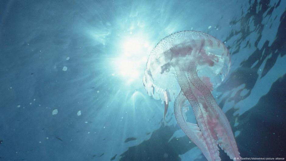
"Ocean depths hold 'entire worlds' "The ocean covers 71% of the planet, so it's just vast, incomprehensibly vast," said Laura Trethewey, a Canadian environmental journalist and author of "The Deepest Map: The High-Stakes Race to Chart the World's Oceans," published in 2023. "There's just no terrestrial equivalent, which is why we so often compare the ocean to the moon or outer space. There's nowhere else on land that comes close to the ocean in terms of size,""
Satellite radar cannot penetrate water, so ocean topography from orbit has coarse resolution around 5–8 kilometers per pixel compared with about 30 centimeters per pixel on land. Only about 20% of the ocean floor has been surveyed with echo sounding. Seabed 2030, a joint United Nations and Nippon Foundation project, aims to map the entire ocean floor by the end of the decade. The ocean covers 71% of the planet and contains vast, otherworldly spaces; the moon and Mars have been mapped more thoroughly. Ships, diving robots and submarines emit fan-shaped acoustic pulses toward the seafloor to chart depth.
Read at www.dw.com
Unable to calculate read time
Collection
[
|
...
]