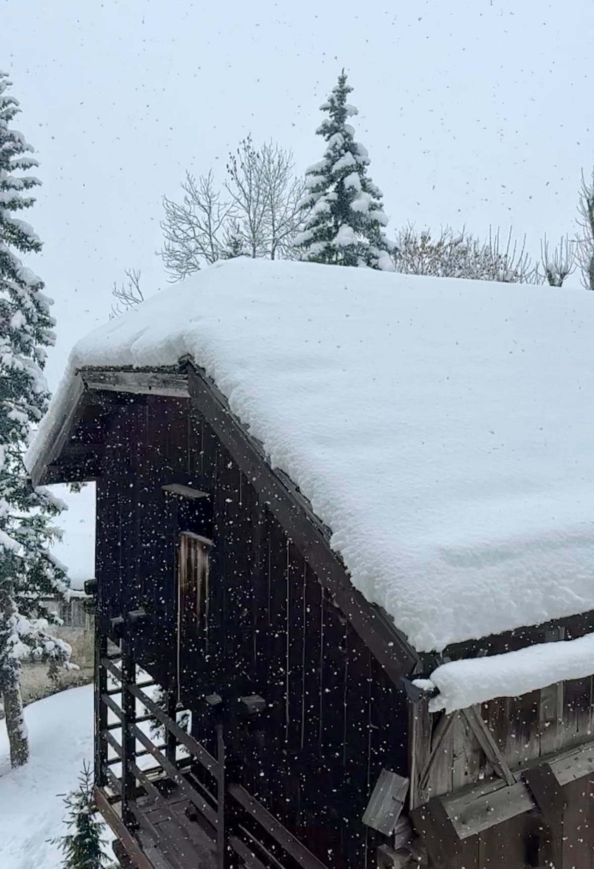
"An intense storm system is hammering the region, dropping significant snow on top of an already fragile snowpack. So far, up to 30 cm (12 inches) of fresh snow has fallen in the Pre-Alps above 1,500 meters (4,900 feet), while the Dolomites have picked up around 15 cm (6 inches)-with much more on the way. The fresh snow is falling onto a poorly bonded surface layer left over from last weekend, which itself sits on deep, persistent weak layers made up of angular crystals-a classic recipe for avalanches."
"Under these conditions, both spontaneous avalanches and human-triggered slides are likely, even from something as light as a single skier or rider. Medium-sized avalanches are expected, and large avalanches are possible if deeper layers are activated. Snowfall is expected to continue through Thursday morning, January 29, with an additional 20-30 cm (8-12 inches) forecast in the Dolomites and 25-40 cm (10-16 inches) forecast in the Pre-Alps above 6,500 feet. In some Pre-Alpine zones, total storm snowfall could approach 70 cm (nearly 28 inches)."
An intense storm is depositing heavy new snow across northern Italy, adding up to 30 cm in the Pre-Alps and about 15 cm in the Dolomites so far, with much more forecast. Fresh snow is accumulating on a poorly bonded surface above deep, persistent weak layers of angular crystals, creating a high avalanche hazard. Both spontaneous avalanches and human-triggered slides are likely, with medium-sized avalanches expected and large avalanches possible if deeper layers fail. Danger is widespread due to light winds, with the Pre-Alps at Level 4 and Dolomites at Level 3 through January 29.
Read at SnowBrains
Unable to calculate read time
Collection
[
|
...
]