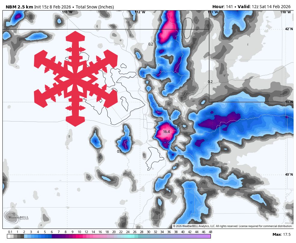
"WeatherUtah's warm, springlike start gives way to a more active stretch with a light shot Sunday night into Monday, steadier mountain snow Tuesday through Thursday, and another colder storm window taking aim at the weekend into early next week. Snow levels run high at times midweek, so lower-mountain snow quality will swing from wet and dense to more wintry as colder air mixes in. The best midweek totals favor the upper Cottonwoods and the far northern mountains, with gusty southwest winds occasionally impacting exposed ridgelines."
"Sunday night (02/08) into Monday (02/09) brings a weakening front with light snowfall focused on the far northern mountains, plus a small refresh elsewhere. Beaver Mountain has the cleanest signal for accumulation, with snow levels around 5,500-6,000 feet keeping it all snow at the base and snow ratios in the 10-11:1 range, so expect fairly dense but skiable new snow."
A warm, springlike period will shift into a more active pattern with several snow events through early next week. Light snow arrives Sunday night into Monday, mainly in the far northern mountains, with Beaver Mountain most likely to see measurable accumulation at relatively high snow levels. The primary midweek cycle Tuesday through Thursday will be the most dependable for the northern Wasatch, the Cottonwoods, and the Bear River Range, favoring upper Cottonwoods totals. Snow levels will be high at times midweek, producing wetter, denser lower-elevation snow before turning more wintry as colder air moves in. Gusty southwest winds may affect exposed ridgelines. Model differences exist for the early round, and a late-weekend-to-early-week colder setup offers the best potential for improved snow quality and classic turns once snow levels drop and ratios recover.
Read at SnowBrains
Unable to calculate read time
Collection
[
|
...
]