#temperature-drop
#temperature-drop
[ follow ]
#weather #cold-front #london-weather #snow-forecast #hailstorms #cold-snap #weather-forecast #rainfall
fromFOX 5 New York
3 weeks agoNYC weather: Cold front brings winter-like chill back after signs of spring warmth
A fast-moving cold front is pushing south out of Canada, sending colder air across the Northeast and Mid-Atlantic, according to FOX Weather. More than 40 million people are expected to feel this 'winter flashback,' with temperatures running 10 to 20 degrees below average through midweek.
Canada news
#weather

fromLondon Business News | Londonlovesbusiness.com
1 month agoUK news
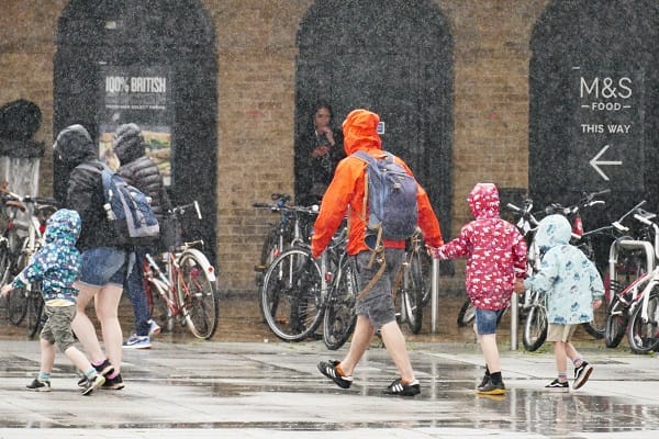
Cold snap expected to end spring warmth with hail and thunderstorms - London Business News | Londonlovesbusiness.com
Temperatures in the UK are set to drop significantly, bringing colder weather, hail, and thunderstorms after a warm spell.
UK news
fromLondon Business News | Londonlovesbusiness.com
1 month agoCold snap expected to end spring warmth with hail and thunderstorms - London Business News | Londonlovesbusiness.com
Temperatures in the UK are set to drop significantly, bringing colder weather, hail, and thunderstorms after a warm spell.

fromTime Out New York
1 month agoIt's still cold in NYC and it will be for a while
New York City is bracing for rain, thunderstorms and high winds on Monday. The roughest stretch is expected between 6pm Monday and 2am Tuesday, when heavier downpours, organized thunderstorms and powerful wind gusts could make the evening commute and overnight hours particularly messy. A Wind Advisory is also in effect from 2pm Monday through 4am Tuesday, with sustained winds between 15 and 22 mph and gusts that could reach up to 55 mph.
New York City
UK news
fromLondon Business News | Londonlovesbusiness.com
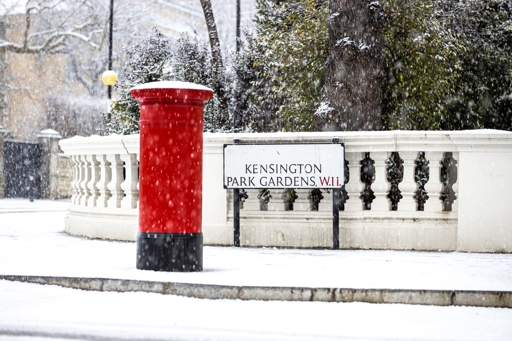
1 month agoSnow and 70mph gales forecast as temperatures drop across UK - London Business News | Londonlovesbusiness.com
Snow and strong winds are expected to return to the UK this week as temperatures drop significantly, particularly affecting Scotland and northern regions.
#weather-forecast
Europe news
fromIrish Independent
1 month agoMet Eireann issues status yellow wind warning for three counties, while entire country under wind warning later in the week
Rain and showers occur daily this week with temperatures dropping to 0-4 degrees Thursday, accompanied by strong winds and potential wintry hazards.
fromIrish Independent
2 months agoSevere flooding disruption as forecasters issue last-minute rain warning; winter to bite hard as ice, frost and snow due in coming days
"It will prove cold with some frost and ice in places on Friday morning, especially in the west and north," she said. "Munster and south Leinster will see cloud, but that will clear to leave dry and sunny conditions with a few isolated showers in the north and highest temperatures of 3C to 7C," she said. Friday night will prove mainly dry but very cold and frosty with some icy patches.
Environment
fromSun Sentinel
3 months agoCold whiplash: Temps to plunge by 40 degrees overnight Monday
Monday's daytime temperatures will be near record highs across the eastern half of South Florida this afternoon. Apparent temperatures could remain in the low 90s for several hours, said forecasters. But the front will hit quickly with north winds from 9 mph to 14 mph, with gusts as high as 28 mph. Coastal South Florida should see temperatures in the upper 40s to low 50s by Tuesday morning while the area around Lake Okeechobee could see temperatures in the upper 30s.
Environment


fromThe Local France
5 months agoSnow and black ice: France to get first dose of winter weather this week
France is expecting its first cold snap of the winter this week, with freezing temperatures and snow forecast for lowland areas. French weather forecaster, La Chaîne Météo, has warned that this week marks the arrival of "real winter weather". With a low-pressure system descending from the North Sea, forecasters warned in the weekly bulletin that rain and snow, even at lower altitudes, were on the horizon for later in the week.
France news
fromABC7 San Francisco
7 months agoMonsoonal moisture brings humidity, light shower chances to Bay Area
The hot weather that briefly hit the Bay Area Tuesday is gone, but has been replaced with a humid day on Wednesday with the possibility of light showers. Monsoonal moisture arriving from the south will bring shower chances throughout the day and an increase in clouds. LIVE: Track rain in San Francisco Bay Area with Live Doppler 7 The biggest impact may be wet roads.
Environment
[ Load more ]