"The warm spell is expected to peak Monday, with lower valleys seeing temperatures up to 75 degrees and mountain areas hitting about 70 degrees, according to the National Weather Service. Tuesday will likely be the last day of warm weather before the storm system brings southwest winds of 15 to 20 mph, with gusts up to 35 mph. And in wind-prone areas, gusts could even reach up to 45 mph, the weather service said in its forecast discussion."
"The storm is expected to be in full force by Thursday, with the strongest winds occurring from 10 p.m. Wednesday to 4 a.m. Thursday, the weather service said. The system will also usher in a mix of rain at the lower elevations and snow in the mountain areas, Tyler Salas, a meteorologist with the National Weather Service, told SFGATE."
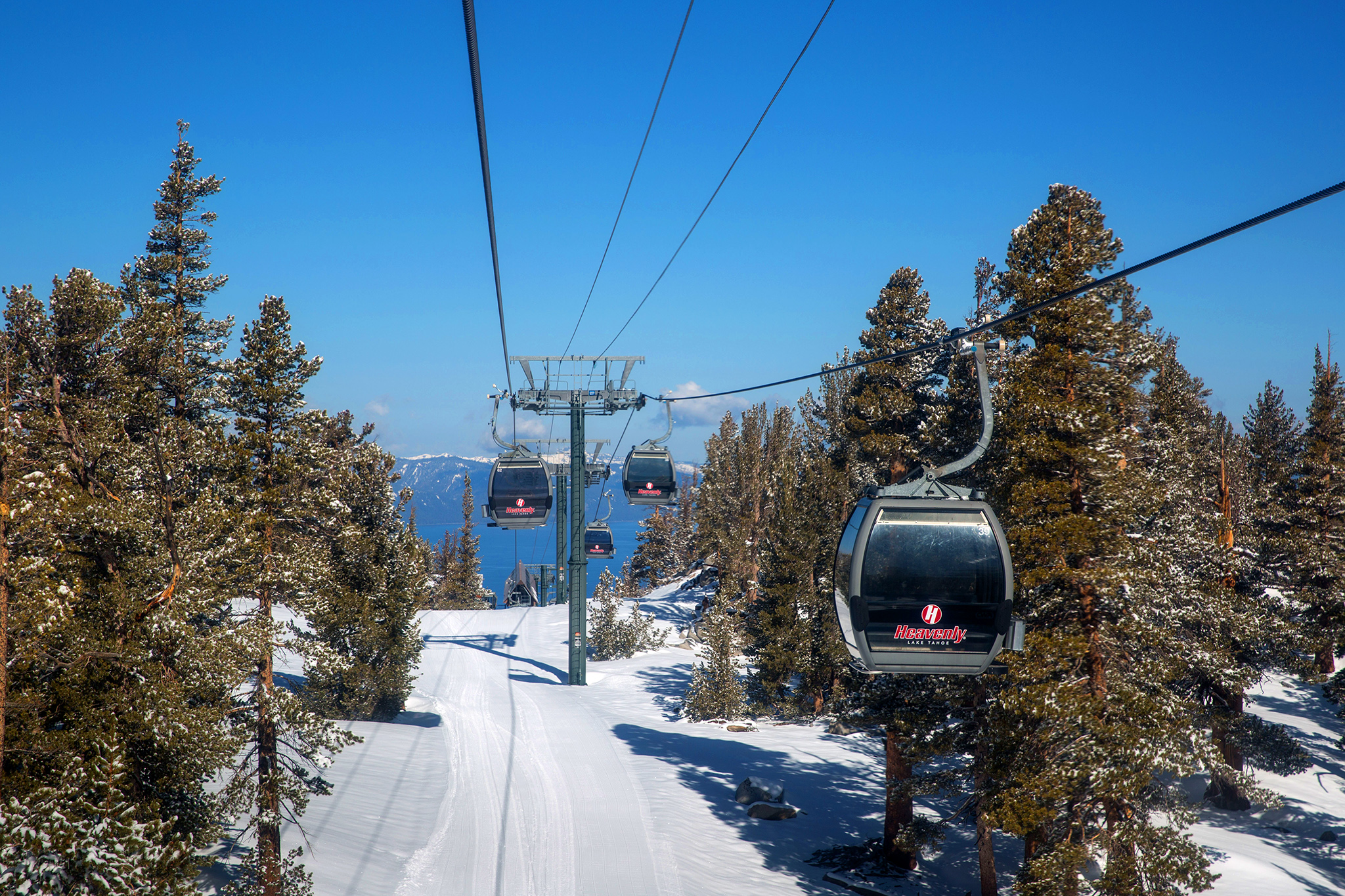
"Overall, most of the snowfall will be within a 24- to 48-hour period, Salas said, with up to a foot to a 18 inches expected on the higher peaks and 1 to 4 inches expected near the lake level. According to the weather service, there will only be lingering showers by Thursday night as the snow levels fall to about 5,000 feet or less."
A warm spell will peak Monday with valley temperatures near 75 degrees and mountain areas around 70 degrees, with Tuesday likely the last day of warmth. A storm system will arrive midweek bringing southwest winds of 15–20 mph and gusts to 35–45 mph, strongest between 10 p.m. Wednesday and 4 a.m. Thursday. Rain is expected at lake level and below 7,500 feet, shifting to snow at higher peaks on the west side of Lake Tahoe and around Mount Rose. Snowfall will occur mostly within 24–48 hours, with 12–18 inches possible on higher peaks and 1–4 inches near lake level. Temperatures will fall into the 30s in valleys and below 20 degrees in the Sierra by Friday.
Read at SFGATE
Unable to calculate read time
Collection
[
|
...
]