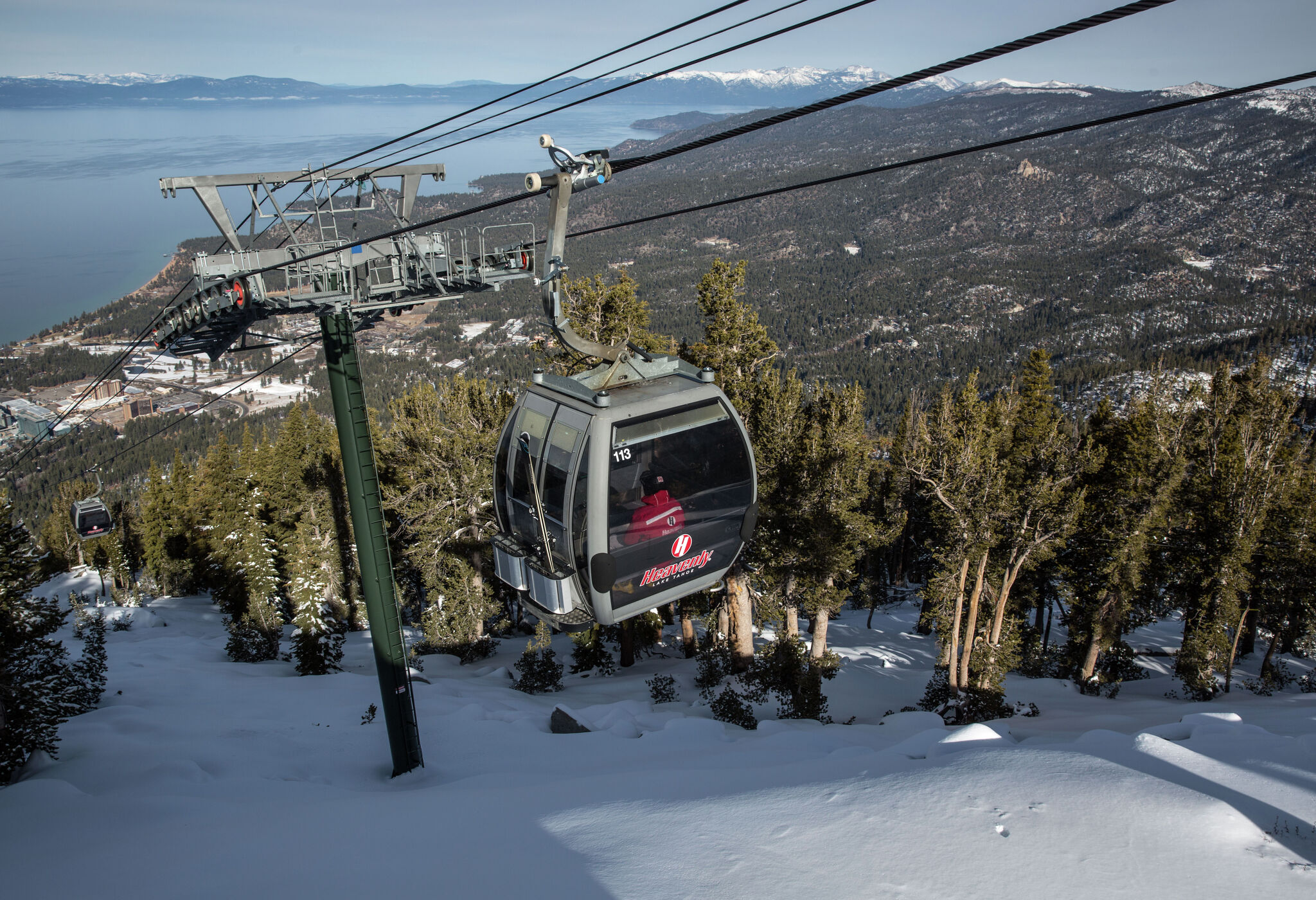
"Only days away from the heart of the holiday season, the Tahoe Basin continues to warm up, showing no immediate signs of changing. The above-normal temperatures are set to stick around through early next week, possibly complicating plans for upcoming snow trips. In some areas of the Tahoe Basin, temperature readings this week have been 10 to 20 degrees above average, Hector Crespo, a meteorologist with the National Weather Service, told SFGATE. That pattern is expected to hold through Tuesday, and even by midweek, temperatures should remain about five to 10 degrees above normal, he said."
"The unusual weather pattern stems from high pressure in the area setting up an inversion layer, leaving lower elevations cold and foggy while higher elevations stay sunny and warm. "With some cooler air overnight over that warm water surface, it just keeps, allowing for the generation of fog," Crespo said. "It's just keeping the air mass trapped there until we get kind of like a system that actually blows all that air mass away.""
Temperatures across the Tahoe Basin have been well above normal, with some locations 10 to 20 degrees higher than average this week and forecasts indicating elevated readings through early next week. Midweek temperatures are expected to remain about five to 10 degrees above normal. A high-pressure pattern has produced an inversion layer that keeps lower elevations cold and foggy while higher elevations stay sunny and warm. Cooler overnight air over warm water contributes to persistent fog by trapping the air mass. Warmer daytime temperatures may lift some fog, but low clouds and light winds should persist. Precipitation is currently unlikely, with snow levels confined to the highest peaks and only a modest chance of an inch of snow along the Sierra Crest.
Read at SFGATE
Unable to calculate read time
Collection
[
|
...
]