Miscellaneous
fromIrish Independent
2 months agoConcern mounts over impact of incessant rainfall as unsettled weather to extend into March
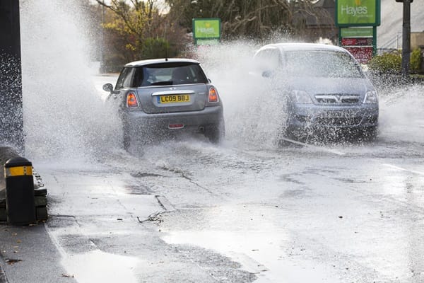
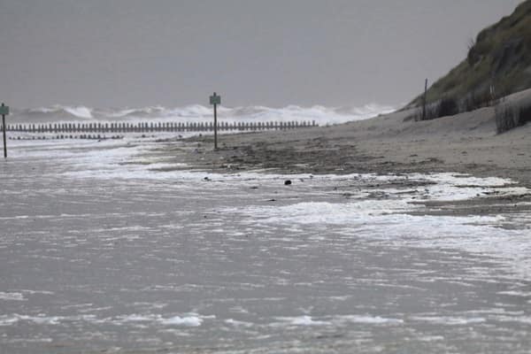
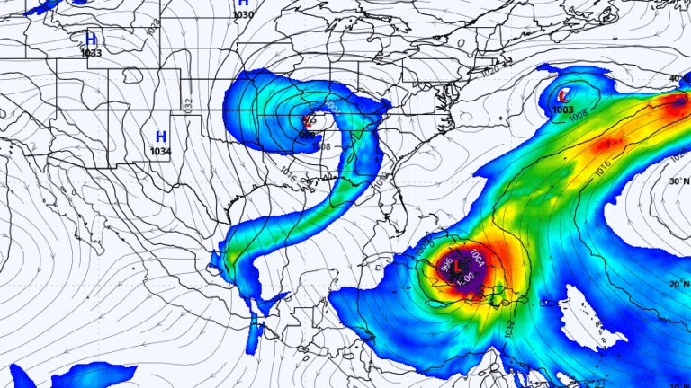
Persistent heavy rainfall across Ireland has saturated farmland, disrupted farming operations and storage, increased flood risk, and may delay planting and harm harvests.