Snowboarding
fromSnowBrains
1 week agoSnowBrains Forecast: Light High-Elevation Snow for South America Through Tuesday - SnowBrains
A storm will bring upper-mountain snow to the central Andes, with more unsettled weather expected later in the week.
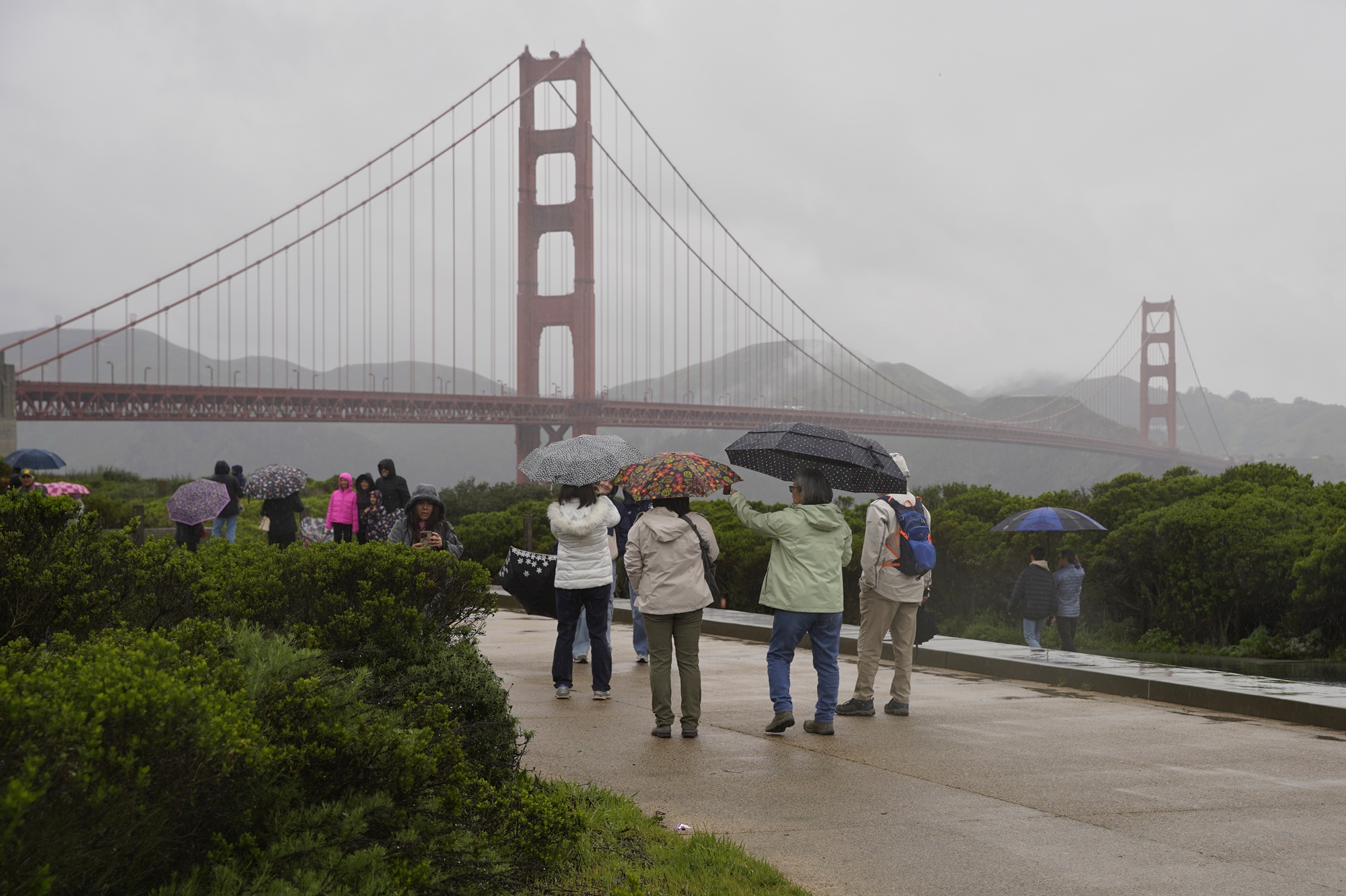
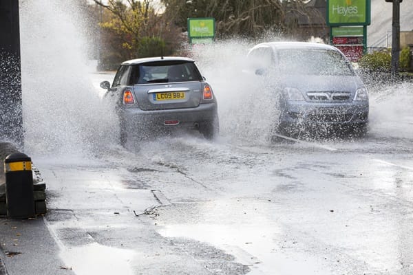
Showers moving into the region from the Central Coast should bring steady rain to Ventura and Los Angeles counties Thursday morning, with frosty temperatures pushing snow levels lower than normal, potentially impacting commuters along the Grapevine, according to the National Weather Service. "Steady precipitation will taper off to showers by late this afternoon and become confined to the mountains by late tonight," the weather service posted in a Thursday morning forecast.
There is a strong temptation to stay indoors when the world freezes. But out there in the cold, and especially after snowfall, the brown bones of gardens are suddenly emphasized, outlined in white. Visiting gardens in winter, when leaves and flowers belong to dreams of spring, allows us the thrill of anticipation, the pure pleasure of comparison, and an appreciation of structure, adding layers of understanding to our experience. It also tests our plant identification skills.
Already she remembers scenes, so many- her mother walking in through the front door with her wrapped-up baby brother; that time the big dog gobbled up her toast before she could take a single bite; that day a bad man pushed her so hard on the swing she spun out, landing face down in the dust. Also, sometimes, some first happy thing she barely senses anymore- a soapy bath toy, warm in her baby hands?
The French weather forecaster Météo France has issued a weather warning for snow on Monday, with snowfalls predicted for Paris and much of western France. A total of 23 départements have been placed on orange alert for snow and ice including the Paris region, Brittany and Normandy and part of the west coast. Météo France is predicting up to 10cm of snow in the coastal areas of Brittany and Normandy, while the greater Paris region could get up to 5cm.
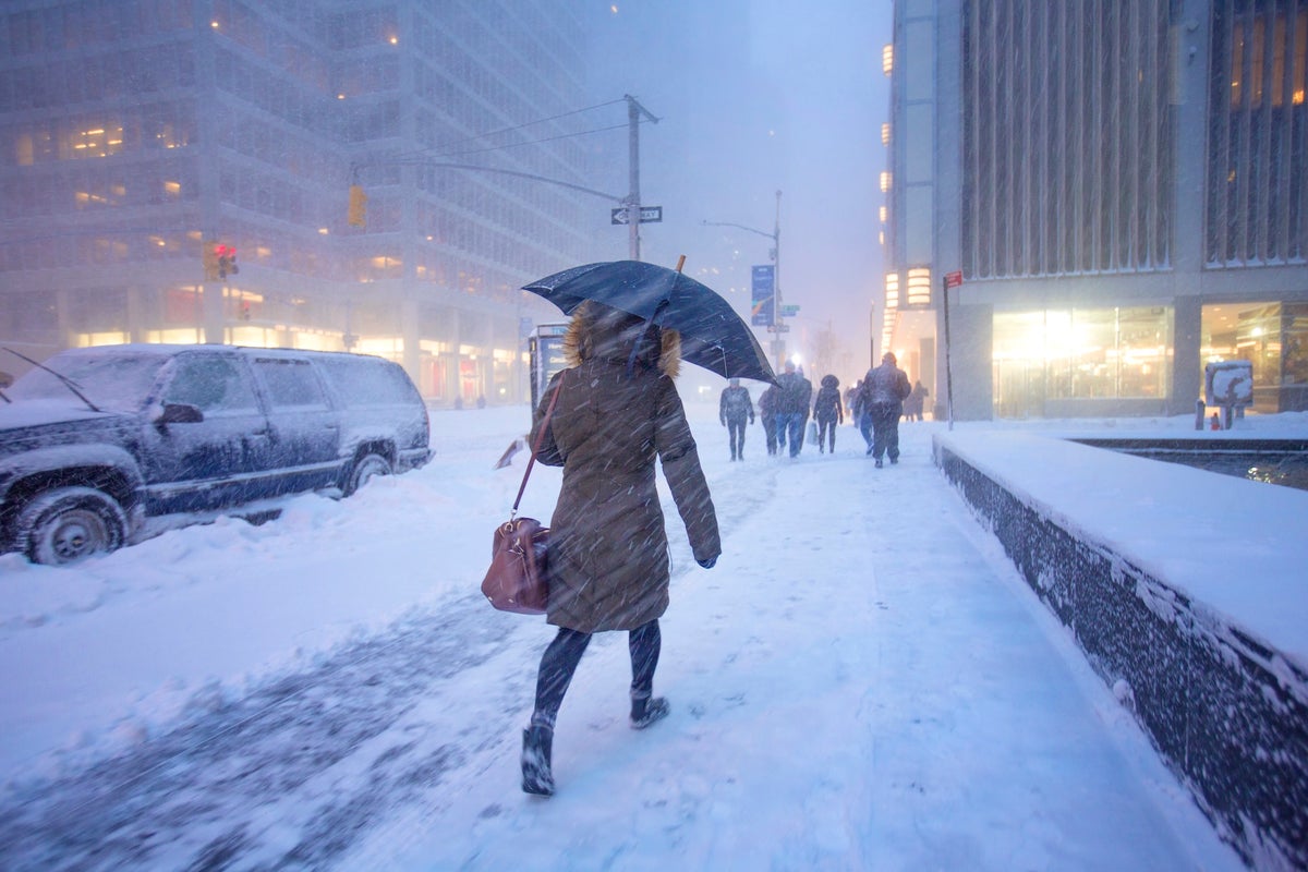
The massive polar vortex sweeping across the US this week will only be the beginning of the country's bone-chilling plunge into winter, meteorologists warn. New forecasts have revealed that the Midwest and Northeast are currently in the first wave of an arctic 'outbreak' which will likely see more freezing cold air move south from Canada over the next three weeks.
Londoners have taken to social media to share their excitement about the first snow of the season, posting pictures and video from Twickenham to Cricklewood. You would think Londoners are cold-deprived from the way they have reacted to the fresh snowfall. One user on X said: I can't believe it's snowing in St.John's Wood, London. It's only November! Another user celebrated: first time seeing snow in london!!