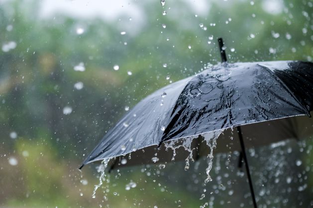
#thunderstorms
#thunderstorms
[ follow ]
#weather #severe-weather #flooding #rain #uk #forecast #heavy-rain #heatwave #new-york-city #weather-warning
#weather

UK news
fromLondon Business News | Londonlovesbusiness.com
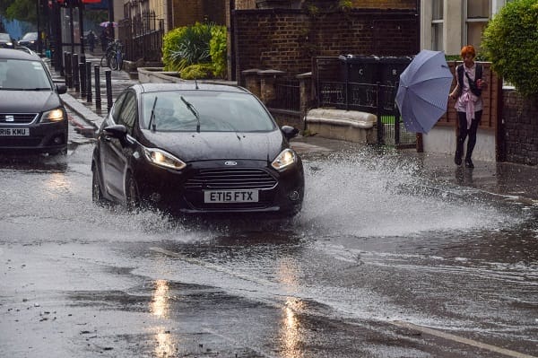
1 month agoCold snap expected to end spring warmth with hail and thunderstorms - London Business News | Londonlovesbusiness.com
Temperatures in the UK are set to drop significantly, bringing colder weather, hail, and thunderstorms after a warm spell.
UK news
fromLondon Business News | Londonlovesbusiness.com
1 month agoCold snap expected to end spring warmth with hail and thunderstorms - London Business News | Londonlovesbusiness.com
Temperatures in the UK are set to drop significantly, bringing colder weather, hail, and thunderstorms after a warm spell.
#severe-weather


Washington DC
fromWashingtonian - The website that Washington lives by.
1 month agoSevere Storms Possible Today, Trump Removes Loyalist Who Served as the Kennedy Center's President, and Iran War Enters Week 3 - Washingtonian
Severe thunderstorms and tornadoes are possible today after 2 PM with heavy rain and damaging winds, followed by a sharp temperature drop from 73°F to 31°F overnight as a cold front arrives.


Environment
fromIrish Independent
2 months agoMet Eireann issues last-minute thunderstorm warning for four counties, as Ireland braces itself for another rainy weekend
Status Yellow thunderstorm warning for Clare, Galway, Mayo and Sligo until 11am Friday with thundery downpours, spot flooding, lightning and difficult travel expected.
fromLos Angeles Times
2 months agoL.A. storm timeline: Bursts of rain, blasts of wind expected in Presidents Day washout
"There's 30% to 40% chance of thunderstorms on Monday. We could see damaging wind gusts, intense rainfall, water spouts or brief, weak tornadoes." Though it's expected to start drizzling overnight, Angelenos likely won't see heavy rainfall until late Monday afternoon, with showers predicted through the evening. The coasts could see 1 to 2½ inches of rain, with up to 5 inches predicted for the foothills and mountains.
Los Angeles


fromsilive
6 months agoNYC weather: Thunderstorms Sunday night to usher in cooler temperatures
Sunday will be the warmest day of the week at a comfortable 73 degrees, with AccuWeather describing the day as "breezy and pleasant with a blend of sun and clouds." The night, however, will bring thunderstorms, pounding rain, and strong wind gusts that will carry on into the beginning of the workweek. Monday will only reach a high of 64 degrees, a nearly 10-degree drop from Sunday.
New York City


Environment
fromLos Angeles Times
6 months agoThunderstorms, muggy weather ahead for Southern California thanks to Hurricane Priscilla
Hurricane Priscilla moving north could bring unseasonable rain and thunderstorms to Southern California, with the highest flash-flood risk in local mountain and desert areas.
fromwww.santacruzsentinel.com
7 months agoFire officials give the all-clear after overnight lightning strikes hit Santa Cruz County
Units from Cal Fire CZU San Mateo-Santa Cruz spent Thursday checking terrain in Mid County and South County regions for any spot fires that might have been ignited by thunderbolts from a storm that passed through the area late Wednesday and early Thursday. Cal Fire said the region experienced 173 lightning strikes within a 24 hour period, five of which were confirmed within the unit's coverage area of Santa Cruz and San Mateo counties.
Environment
fromwww.eastbaytimes.com
7 months agoUpdate: Pea-sized hail predicted with thunderstorms in Monterey Bay Area Wednesday
Northern Monterey Bay, Northern Salinas Valley/Hollister Valley and Carmel Valley and Southern Monterey Bay and Big Sur Coast are the focus of an updated weather alert for strong thunderstorms issued at 5:55 p.m. on Wednesday by the National Weather Service. The alert is in effect until 6:30 p.m. The storms are packing pea-sized hail (0.25 inches) and wind gusts of up to 30 mph. At 5:54 p.m., Doppler radar tracked a strong thunderstorm over Castroville, or near Marina, moving north at 25 mph,
Environment
Environment
fromThe Mercury News
7 months agoSlow-moving tropical storm brings rain, thunder, lightning to Bay Area
Remnants of a tropical storm brought measurable rain, thunderstorms and widespread lightning to the Central Coast, with decreasing rainfall northward but persistent lightning and fire concerns.
fromLos Angeles Times
7 months agoWhy is Southern California feeling more like muggy, stormy Florida this week?
Southern California could feel more like Florida the rest of this week, forecasters said, as moisture from a tropical storm in the eastern Pacific shifts north, boosting humidity and the chance for unstable weather in the region. "The next several days, we're getting the remnants of the energy from Tropical Storm Mario," said Rich Thompson, a National Weather Service meteorologist in Oxnard. "It's giving us this threat of thunderstorms." Those storms could create fires from dry-lightning strikes or flash floods and debris flows depending on how strong they turn out to be, the National Weather Service warned.
Environment
fromLos Angeles Times
7 months agoThunderstorms, heat, fire weather and winds threaten SoCal as weather gets wild
Tuesday is expected to be the hottest day of the week, with warmer valley areas in L.A. County expected to reach the triple digits and temperatures in inland coastal areas ranging from the 80s to lower 90s, according to the National Weather Service. The hot weather will continue on Wednesday and coincide with a risk of thunderstorms that will persist through midday Friday.
Environment
fromLondon Business News | Londonlovesbusiness.com
7 months agoWarning of 'isolated tornadoes' with 'intense rainfall' as Met Office wind warning come into force - London Business News | Londonlovesbusiness.com
there is potential for organisation of convection, possibly some thunderstorm developing, forming into linear multi-cell convective clusters or even one or two transitory supercell structures capable of producing locally damaging wind gusts and one or two brief isolated tornadoes. Intense rainfall leading to flash-flooding will also be a hazard with this activity. Strong and gusty winds are likely to cause some disruption to travel and interruptions to power.
UK news


Boston Red Sox
fromOver the Monster
8 months agoRain could delay the start of tonight's Pirates vs. Red Sox game featuring Paul Skenes and Payton Tolle
Rain and thunderstorms are affecting southeastern New England this afternoon, but instability should decrease this evening, making a rainout unlikely though a delay is possible.
fromLos Angeles Times
8 months agoMonsoonal storm upends Burning Man, soaks Yosemite and sparks lightning fires across the West
In Yosemite National Park, hikers were surprisingly soaked this weekend as summer storms blew through the area. Meanwhile, thunderstorms across California's mountains launched rapid-fire lightning strikes that sparked several forest fires. And as Burning Man kicked off in Nevada's desert northwest, a major dust storm forced traffic to a halt as attendees tried to avoid the desert's wrath. The impetus for this widespread wild weather was a late-arriving monsoonal pattern, fueled by the region's lingering heat that pulled atmospheric moisture north - and, with it,
Environment
fromwww.eastbaytimes.com
8 months agoUpdate: Pea-sized hail forecast with thunderstorms in Yosemite Sunday
Yosemite, Yosemite Valley and Upper San Joaquin River are the focus of an updated weather alert for strong thunderstorms issued at 12:16 p.m. on Sunday by the National Weather Service. The alert is in effect until 12:45 p.m. At 12:16 p.m., Doppler radar tracked a cluster of strong thunderstorms near Yosemite Valley, or 19 miles northeast of Yosemite South Entrance, moving north at 5 mph, the NWS Hanford CA said.
Environment
[ Load more ]